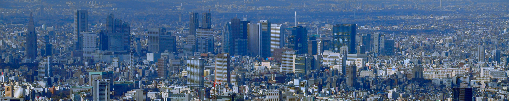


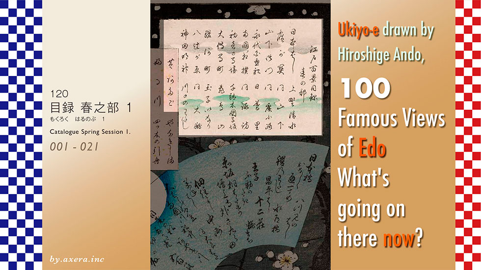
I have visited the actual locations of my favourite 100 famous views of Edo, painted by Hiroshige Ando, to see what the scenes look like nowadays and have them compared.
In this catalogue, I will present a digest of Hiroshige's work of 119 views, by season, with only the views from the past and the present.
The first of these, as Spring Session 1, will introduce views 1 to 21.
001
Nihonbashi Bridge in the Morning Snow.
This is a bird's-eye view of Nihonbashi from the east side of the Mitsukoshi Annex in Nihonbashi 1-chome. The buildings are now so high up that it is impossible to see it like this, but this photo was taken from a parking lot by the Nihombashi River in 1 chome. The Metropolitan Expressway runs above the Nihonbashi River, and the future is completely unclear, just like the current situation in Japan.
002
Kasumigaseki.
This is a picture of the current Kasumigaseki 2-chome, looking towards the sea from the top of the hill between the Ministry of Foreign Affairs and the Ministry of Land, Infrastructure and Transport. At the time, you could see beyond the Tsukiji Honganji Temple to the sea, but now the view is lined with buildings, and it is hard to see where the sea is. The Ministry of Internal Affairs and Communications is on the left, the Ministry of Agriculture and Fisheries at the end, and the Ministry of Health, Labour and Welfare and the Ministry of the Environment on the right.
003
Hibiya and Soto-Sakurada from Yamashitacho.
This is a picture of the current Hibiya, looking towards Hibiya Park from under the guard on Ginza Miyuki-dori. The moat has now disappeared and the red gate in front is now Hibiya Park. This picture was taken from just beyond the moat, a little further forward under the guard. The Imperial Hotel is on the left and the Nissay Theatre is on the right. The Imperial Hotel is scheduled to be rebuilt, so this view will soon change.
004
Tsukudajima Island from Eitai Bridge.
This is the view from the Eitai Bridge upstream on the Sumida River, looking over the bridge girder towards Tsukuda Island. Nowadays, there are no whitefish fishing boats and no large boats moored. The current view is of the Tsukuda River City high-rise building at night over the Eitai Bridge.
I have also included a night view from the opposite perspective, looking at the Eitai Bridge from the skyscrapers. The boats are not white-fishing boats but water buses.
005
Kyogoku Ekoin Temple and Moto-Ynagibashi Bridge.
This painting depicts Ryogoku, emphasising the turrets announcing the Sumo Show from the end of Ekoin Temple to Mt Fuji over the Yanagibashi Bridge over the Yagenbori. In the present photo, I used Google Images to composite the Sumida River and the town of Higashi-Nihonbashi in the distance with a snowy Mt Fuji. You have to use a very long telephoto lens to see it like this. Besides, the turret of the Sumo Show is just too huge, isn't it?
006
Hatsune no Baba Riding Grounds in Bakuro-cho.
It was called Hatsune no Baba because a stable was built on the site of the Hatsune Inari shrine, which was located to the north of the current Bakurocho Station. Even today, this neighbourhood is still lined with clothing wholesalers, but the stable has completely disappeared and is just a back alley lined with small buildings.
007
Momendana Cotton-goods Lane in Otenma-cho.
This painting shows two geisha walking in front of a cotton shop on the old Oshu Kaido street. The street of Odemacho was lined with rows and rows of cotton shops and was the richest street in Edo. The shops actually existed until around the Meiji period, but have now been replaced by large buildings as they also face Showa Street.
008
Suruga-cho.
This picture was painted as an advertisement, featuring the prosperous Echigoya department store, now Nihonbashi Mitsukoshi, with even the largest mountain in Japan, Mt Fuji, behind it. The picture, looking west from the road between the current Mitsukoshi head office and Mitsui Trust Bank, also includes misty clouds and a large Mt Fuji. It looks very deliberate.
009
Inside Sujikai Gate at Yatsukoji.
This depicts the fire-preventive broad alley that existed between the present-day Banze Bridge and Shoheibashi Bridge. It was called Sujikai because many streets came together and were slightly out of alignment. Today, the area is dominated by the Sumitomo high-rise office building and the JR Chuo Line runs alongside it, making it hardly a square at all.
010
Dawn at the Kanda Myoujin shrine.
This picture depicts the town of Edo just as the sun is rising from the precincts of Kanda Myojin shrine, which stands on top of a cliff. Below, the view from Kanda to the Fukagawa area beyond the Sumida River can be seen, but now only the buildings around Akihabara Station can be seen.
011
Kiyomizudo Hall and Shinobazu Pond at Ueno.
This is a view looking towards Shinobazu Pond from the Kiyomizu Kannon Hall in Ueno Park. The approach to the middle island in the middle of the pond is depicted from this direction, but it is not visible today, no matter how hard you try. One is obscured by tall, overgrown trees that block the view. Another reason is that the trees, which were only pine trees at the time, are now planted with many species, including cherry trees.
012
Ueno Yamashita.
This painting depicts the entrance to what is now Ueno Park from the south. At that time, the alley narrowed sharply to the right from here, and the Iseya depicted in the picture seems to have existed until the Meiji era. There have been various shops downtown since that time, but now the central avenue has been extended and curves to the right from here, around Ueno Station. Keisei Ueno Station is on the left of the picture and commercial facilities such as Yodobashi Camera are on the right.
013
Shitaya Hirokoji.
In front of the present-day Ueno Matsuzakaya is a broad alley on a firebreak, which is depicted from the south, and Matsuzakaya still operates in the same location today. Ahead, three bridges were built over the Shinobugawa River, which no longer exists, and were called 'Mihashi', and a delicious sweet shop called 'Mihashi' is currently operating at exactly that location.
014
Temple Gardens at Nippori.
It is said that he painted the garden of a temple called Shusei-in, located to the south of the current Nishi-Nippori Station. In fact, when you visit Shusei-in, you will find that the vast garden as painted by Hiroshige is already gone, and there is just a series of small temples. There are still weeping cherry trees here, but they do not seem to have been painted at the time.
015
Suwa Bluff and Nippori.
Suwa Shrine, on the south side of Nishi-Nippori Station, was famous for the view from its precincts over the rice fields below and as far as Mount Tsukuba. Even today, it is certainly on a hill, but it is a little doubtful whether you can see far. So I tried to create a slightly forced view.
016
Flower Pavilion near the Dangozaka Slope in Sendagi.
This painting depicts Shisen-tei, a gardener's garden on the south side of a steep hill called Dangozaka, west of present-day Sendagi Station. Today, the pond, the garden and the arbour at the top of the hill are completely gone, leaving one to wonder where the place was.
017
View to the North Asukayama Hill.
This depicts the view from Oji Asukayama, famous for its cherry blossoms. Cherry blossom viewing seems to have been popular even in those days, and many Edo citizens are depicted enjoying a party. Even today, the view is blocked by buildings, but it is still a famous cherry blossom viewing spot. Only the view and Mt Tsukuba have been replaced with the current version.
018
Oji Inari Shrine.
Oji Inari Shrine was on a high hill, so when viewed from the side of the shrine building, the view across the rice fields in the foreground could be seen as far as Mount Tsukuba in the distance. Today, however, nothing can be seen even if a photograph taken from this angle is inserted. So, I inserted only the distant view and Mt Tsukuba into Hiroshige's painting.
019
Dam on the Otonashigawa River at Oji.
The Shakujii River, called the Otonashi River, had a large waterfall in front of Oji Station, which was called Otaki. I inset a photo of that weir and the river itself, which has been redeveloped and is now a water park. I also inserted a photo of the current situation, taken from the sky, almost from Hiroshige's point of view.
020
Kawaguchi Ferry and Zenkoji Temple.
Around present-day Iwabuchi, Kita-ku, there was a Kawaguchi ferry crossing the Arakawa River, and Kawaguchi Zenkoji Temple on the other side of the river was one of the famous landmarks. Today, the New Arakawa Bridge has been built here and the Arakawa River has more than tripled in width, so many things have moved, but the light blue roof in the picture is still there today, Kawaguchi Zenkoji Temple.
021
Atagoyama Mountain in Shiba.
This is a picture of the New Year's ceremony at Atago Shrine on the top of Mt Atago and the distant view from the shrine, which was so high up in the city that NHK's first transmission station was built there, so that you could see all the way to Fukagawa beyond Edo Bay, not to mention the city of Edo. Today, however, nothing can be seen but the surrounding trees and concrete buildings.
 I have visited the actual locations of my favourite 100 famous views of Edo, painted by Hiroshige Ando, to see what the scenes look like nowadays and have them compared.
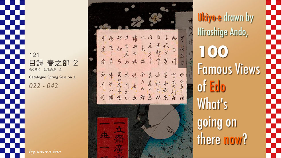
In this catalogue, we will present a digest of Hiroshige's work of 119 views, by season, with only the views from the past and the present.
In this second installment, as Spring Session 2, we will introduce views 22 to 42.
022
Furukawa River in Hiroo.
This is the view from the east of what is now Meiji Street, the Shinohashi Bridges and the Furukawa River flowing beneath it. The Furukawa River changes its name from the Shinjuku Gyoen to the Shibuya River, then to the Furukawa River, and then through Azabu Juban to the Akabane River, which empties into the Shiba Sea. Just around the Shinohashi Bridge, the river becomes a splendid three-sided seawall and a sewer, with the Metropolitan Expressway Meguro Line overhanging it, so that the view painted by Hiroshige cannot even be imagined.
023
Chiyogaike Pond in Megoro.
This painting depicts a garden in the Shimabara domain Matsudaira family's Shimomeguro 1-chome residence on Meguro-Mita Street. When I actually visited the place, I found that not even a trace of the garden or its pond remained. This photo shows the slope around the left side of the cherry tree depicted in the painting. Times have certainly moved on.
024
Shin-Fuji in Meguro.
This painting depicts the Fuji-zuka Mound and the view ahead, which was located at the end of the Mita Waterworks in present-day Nakameguro 2-chome, in front of a steep hill that emerges abruptly from the back of the house. The extremely exaggerated Fuji Mound by Hiroshige is now a shadow of its former self, and the steep hill is the only clue to the location. The Fuji-zuka mound appears to have been located on the left side of the steep hill in the photograph.
025
Moto-Fuji in Meguro.
This painting depicts the Fuji-zuka mound and its view, which was located just after the Yarigasaki police box on Hachiman-dori in Daikanyama. This Fuji-zuka is also depicted with considerable exaggeration, but later this place became the residence of Tobu General Kaichiro Nezu, and is now a large apartment building. In the photograph looking west from the car park, Mt Fuji can be seen, albeit slightly, through the trees.
Fuji and the distant view are inserted into the picture painted by Hiroshige. This is still more convincing of Hiroshige's painting.
026
Amor-Hanging Pine in Hakkeizaka.
This painting depicts a pine tree that was located on the north side of present-day Omori Station. It is said that Minamoto no Yoshie stood on his way to conquer Oshu and rested with his armour on this pine tree. The street in front is Hakkeizaka, the slope of Ikegami-dori street in front of the west exit of present-day Omori Station. The photo was taken from halfway up the stairs to the Tenso Shrine opposite. Naturally, the pine trees are gone and the sea beyond is not visible.
027
Plum Garden in Kamata.
At the time, Kamata was known as a major plum-growing area, and Hiroshige painted the plum grove. The palanquin depicted appears to be a passenger on a journey, stopping over from the Tokaido Highway. Today, opposite the Ota Ward Gymnasium, there is a park called Seiseki Kamata Umeyashiki Park, and although it is not known whether this is the actual place where Hiroshige painted this picture, I have included it in the picture.
028
Gotenyama Hills in Shinagawa.
The sudden appearance of the Black Ships forced the Shogunate to defend Edo in a hurry, and Gotenyama was cut down to create Odaiba. The cut down Gotenyama still remained a famous cherry blossom spot, which Hiroshige depicted in this painting. In reality, the area is now around Shinagawa Joshi Gakuin, but Gotenyama Park across the railway line was a landscape that looked like that, so I adopted it.
029
Moto-Hachiman Shrine in Sunamura.
This painting depicts the Tomioka Hachimangu shrine in Fukagawa, which was originally located here, and was known as Moto-hachiman. It is now around Minami-suna 7-chome, but at that time it was possible to see as far as Boso in the distance. Today, however, the road, rather than the sea, continues all the way down. The torii gate and the red shrine pavilion in the precincts of the shrine are also included, but I'm not so sure about that.
030
Plum Garden in Kameido.
This painting depicts a plum tree called 'Garyo Bai', which was located in the famous plum mansion in Kameido and was copied by Van Gogh. The plum tree was located in a peasant's garden about 1 km behind Kameido Tenjin shrine, but now even traces of it have disappeared, with only an information board and a small plum tree standing quietly on the footpath. The photo was taken at Mito Kairakuen after finding a plum tree that looked like it.
031
Split-Trunk Camphor at Azuma Shrine.
This painting depicts the shrine and forest associated with Yamatotakeru, who is depicted in the Chronicles of Japan, located at the end of the Yokojuken River, north of Kameido. The shrine's deity was a camphor tree split in two, and Hiroshige painted it in a particularly large size. The camphor tree has now died and is displayed next to the shrine. Even in the photo taken from the Fukujin Bridge, the shrine is now surrounded by houses so tightly that it is impossible to see where the shrine is located.
032
Yanagishima.
The painting depicts a view of Yanagishima, where the Kitajuken River and Yokojuken Rivers intersect. Hoshoji Temple, known as Myoken-sama, surrounded by a red wall, and the famous ryotei restaurant Hashimoto are depicted at the foot of the bridge. Two rivers can still be seen with concrete revetments, while the ryotei Hashimoto is now a brown apartment building. The light blue roof is Hoshoji Temple and what you can see ahead is not Mount Tsukuba but the Chichibu mountain range.
033
Towboats Along the Yotsuki-dori Canal.
As a magnificent view, Hiroshige depicted the tugboat, a means of transport in which passengers are carried on boats floated on the river and pulled along from the land. Today, from Yotsugi to Kameari, the river is almost like a water park. Originally, the river was straight, but Hiroshige bent it to create the picture, and it actually looks like this, too. Mount Tsukuba is at the far end.
034
Night View of Matsuchiyama Hill and the Sanya Canal.
This painting shows a night view of Mount Matsuchiyama and the Sanya Canal on the opposite bank of the river, seen from in front of the Mimeguri Shrine on Mukojima, with Hiroshige's familiar geisha in the foreground. The Sumida-zutsumi and the geisha were left as they were in this painting, but the night view was changed to the present day. The buildings are taller than Mount Matsuchiyama and the culverted Sanyabori relies only on lights, but it is hard to tell where they are.
035
Sujin shrine and Matsusaki on the Sumidagawa River.
In Hiroshige's painting, the Sumidagawa Shrine, which was known as the Water God, is shown on the right side of the picture, but Matsusaki is seen off to the left because that is the direction travellers are heading. In the current picture, the small green roof beyond the white roof by the river is the Sumidagawa Shrine. This area was also called Suijin-sama (water god), as it was slightly elevated despite being beside the river and was spared from flooding every time it was flooded.
036
View from Matsusaki of Sujin Shrine, Uchigawa Inlet, and Sekiya.
This is a view from the round window of a ryotei restaurant near the west end of the Shirahige Bridge, then known as Matsusaki, looking almost north. Sekiya is on the other side where the Sumida River curved to the left. I added a plum branch to the present picture and put it in the round window. The Sumidagawa Shrine is just to the right and Sekiya is also just to the left. The iron bridge and the Metropolitan Expressway Route 6 running along the river look very painful.
037
Tile Kilns and Hashiba Ferry on the Sumidagawa River.
Around Imado, north of Asakusa, there were many hearths for firing earthenware and roof tiles. This painting depicts Hashiba Ferry and the birds of the city through the rising smoke, and the cherry blossoms alongside the Bokutei riverbank. Today, the Hashiba ferry has been replaced by the iron Shirahige Bridge, and the left bank of the Sumida River is largely covered by the Metropolitan Expressway Route 6.
038
Dawn Inside Yoshiwara.
This is a view of the dawn sky to the east from the main street of Shin-Yoshihara, an officially recognised brothel in Edo, which was always decorated with cherry blossoms in spring. Even today, Yoshiwara is famous as a brothel area, and I have processed the daytime view of the Senzoku 4-chome area as if it were nighttime and inserted it into the image. Without neon lights, there is no unique atmosphere of a gay quarters .
039
Distant view of Kinryuzan Temple and Azumabashi Bridge.
This painting shows a geisha on a roofed boat floating on the Sumida River, looking towards Azuma Bridge and Sensoji Temple. You can see that the five-storey pagoda of Senso-ji Temple was located to the east of the main hall at the time. Nowadays, Senso-ji itself is buried under buildings and cannot be seen from the boat on the Sumida River. The Azuma Bridge is also hidden by the Kototoi Bridge, and only a few bridge girders can be seen.
040
Basho's Hermitage and Tsubakiyama Hill on the Kanda Aqueduct at Sekiguchi.
This picture looks upstream on the Kanda River from what is now Edogawabashi station. The mountain on the right is called Tsubakiyama, because there were many camellias, and Basho's hermitage, which has been rebuilt and remains today, is also depicted in the picture. The Kanda River is now almost a promenade on both banks, and this picture shows the path before climbing up to the Basho's hermitage. To the right here is Chinzan-so with its beautifully created garden.
041
Ichigaya Hachiman Shrine.
This is a view of Ichigaya Hachiman from around present-day Ichigaya Station. As depicted in this picture, the area in front of the gate was a very busy entertainment area in those days. This is the current view from the same location around Ichigaya Station. The buildings on Sotobori Dori street are competing for height, and the Hachiman Shrine on the hill is indeed not visible at all.
042
Cherry Blossoms on the Tamakgawa-josui River Embankment.
This painting depicts the Tamagawa-josui, which flowed to the north of what is now the Shinjuku Gyoen, and the Edo citizens who came to see the cherry blossoms blooming there. This is a present-day picture, but the actual Tamagawa-josui was flowing through the bushes on the left. On the right, buildings and flats line the street, but once you cross Shinjuku-dori, you come to the so-called 'Nichome' entertainment area, where flowers bloom at night, commonly known as 'Nichome'.

I have visited the actual locations of my favourite 100 famous views of Edo, painted by Hiroshige Ando, to see what the scenes look like nowadays and have them compared.
In this catalogue, we will present a digest of Hiroshige's work of 119 views, by season, with only the views from the past and the present.
The third part of this series, as part 1 of the Summer Session, will introduce views 43 to 57.
043
Nihonbashi Bridge and Edobashi Bridge.
This is a view of the Edo Bridge looking east from the embankment of Nihonbashi, the center of Edo. It is also very summery with the vat of the first bonito in the painting. Nowadays, Showa-dori Street runs through Edobashi, but since the Edobashi junction of the Metropolitan Expressway is located on top of it, it is hard to tell where Edobashi is.
044
View of Nihonbashi Tori 1-chome Street.
This is a view looking toward Nihonbashi from the present-day Nihonbashi intersection. The street called Tori-cho ran from Kanda-sudacho to Kanasugi-bashi Bridge and was a major road in Edo period. The Shiroki-ya store on the right was later converted into the Tokyu Department Store and then into COREDO Nihonbashi. The Nihonbashi subway station is located directly below this building.
045
Yatsumi Bridge.
This is a view looking toward Edo Castle from Ikoku Bridge on Sotobori Street. Fuji and the bridge were collectively seen eight times, so it was also known as Yatsumi Bridge. Today, a high-rise building called the Tokiwa-bashi Torch Tower stands to the left of this spot. But now, a building called Tokyo Torch, the tallest building in Japan, is scheduled to be built beyond it, so instead of a bridge, we will only be able to see the wall of the building. I also tried to raise the viewpoint and created a picture with summer Mt.Fuji.
046
Yoroi ferry in Koami-cho.
This is a view looking toward Koamicho, where white warehouses of shipping wholesalers stand in a row, from a ferry at the end of what is now the Tokyo Stock Exchange. The bridge is now called Yoroi(armor) Bridge, and the photo was taken from its embankment. As usual, the Metropolitan Expressway running over the Nihonbashi River toward the Hakozaki Junction is always congested, especially in this area of the expressway.
047
Seido and the Kandagawa River from Shoheibashi Bridge.
The painting depicts people climbing up the hill in front of Yushima Seido in the rain, across the Kanda River from the Shoheibashi Bridge. The mountain on the left is exaggerated, but it is where the Chuo Line currently runs. Further above it, the Sobu Line from Akihabara Station covers the area, and beyond the Kanda River in the picture, the tunnel where the Marunouchi Subway Line enters and leaves the city can also be seen. To the right of the photo, Yushima Seido is the place where a slight green can be seen.
048
Suidobashi Bridge and Surugadai.
This is a view of the carp streamers of the samurai residences and Mt.Fuji. I included a photo looking toward Suidobashi Station from the same location, but it looks a little different. So, I raised the viewpoint, kept the huge carp streamers as they are, and added Mt.Fuji.
049
Fudonotaki Falls in Oji.
This painting is a rather exaggerated depiction of the Fudo Falls that used to be with the Fudo Statue at Shojuin Temple in Takinogawa and the Edo citizens who enjoyed it. When one actually goes there now, the waterfall has been stopped by concrete, leaving only a drainage hole. The statue of Fudo, which had been worshipped beside the waterfall, had been moved to the garden of Shojuin Temple, so I included it in the painting.
050
The Twelve Shrines of Tsunohazu Kumano, commonly known as the Juni-So.
This painting depicts the Juni-So Pond, a major tourist attraction that was located beyond the Kumano Shrine in what is now Nishi-Shinjuku, from a little higher up. When you go there now, there is no trace of what looks like a pond, just buildings on the slope as shown in the picture. As you can see in the picture from above, about three large buildings by the pedestrian bridge used to be the pond. It seems that the pond existed until the beginning of the Showa period.
051
Sannomatsuri Festival Procession at Kojimachi 1-chome.
It depicts a scene where the Sannomatsuri Festival procession is parading down what is now Uchibori Avenue, and the procession ahead is about to enter Edo Castle from the Hanzomon Gate ahead. The location is from across the street from what is now the National Theatre, and when you actually go there, the view is almost exactly as it was in Hiroshige's time. Today, the sidewalks of Uchibori-dori Avenue have become a sanctuary for jogging enthusiasts.
052
Akasaka Paulownia Field.
This is a view from the east of the Akasaka 2-chome police box, looking toward Tameike-Sanno Station on Sotobori Street, which was then Tameike Pond. Many paulownia trees were planted along the Tameike Pond to protect the shore of the pond. When I actually went to the spot, I could only see buildings in front of me. So, I went out to Sotobori Street and looked in the same direction. The Prime Minister's official residence is just ahead, so police vehicles are always on standby.
053
Zojoji Temple Pagoda and Akabane.
The picture shows the red five-story pagoda of Zojoji Temple, which has now disappeared, looking across the Furukawa River toward the Akabane Bridge. The current photo was taken from the hill in Shiba Park where the five-story pagoda once stood. The Kurume clan's residence, which had a red gate, is now the Mita International Building and a hospital, but you cannot see them at all.
054
Benkeibori Moat from Soto-Sakurada to Kojimachi.
This is a view from the sidewalk in front of the current Metropolitan Police Department looking toward the Supreme Court over the moat. The house with the red gate on the left was the residence of the Ii family of the Hikone domain, and is now a park leading to the Constitution Memorial Hall. As you can see from the actual picture, the scenery has not changed much from that time.
055
Sumiyoshi Festival on Tsukudajima Island.
This is a view of the Sumiyoshi Festival underwater procession performed by the fishermen of Tsukuda, who came from Osaka, as seen through a large 20-meter-high banner. The direction of Boso can be seen beyond the view. The octagonal portable shrine boat procession has now been revived, but instead of Chiba, you can see the Tsukuda Bridge and the skyscrapers of Tsukishima. Of course, the reclaimed land continues to be reclaimed long after this.
056
Mannenbashi Bridge at fukagawa.
This is a view of Mt. Fuji from the Mannenbashi Bridge, built before the Onagi River joins the Sumida River, through the turtles hanging from the tubs at the Houshoe. Fuji is not at all visible from here now, but instead the Kiyosubashi Bridge and the water buses on the Sumida River can be seen in good balance. Matsuo Basho lived here at that time until he embarked on his journey along the Oku no Hosomichi.
057
Mitsumata River Fork and Wakarenofuchi Dividing Pool.
Fuji over a reed-lined sandbar downstream of the present-day Kiyosubashi Bridge. There was also a waterway that separated from this sandbar and led to the Nihonbashi River, so it was also called the Mitsumata. The remains of the waterway are now used as the Metropolitan Expressway, and the brown apartment building in the photo was the end of the sandbar. The pump station with the blue sign is the remnant of the waterway.
 I have been asked to visit the places where I love the 100 Famous Views of Edo, painted by Hiroshige Ando, to see what the scenes look like now, and to compare the old and the new.
In this catalogue, Hiroshige's works of 119 views will be grouped by season, and only the old and current views will be presented in digest form.
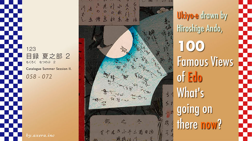
In this fourth installment, as part 2 of the summer section, we will introduce views 58 to 72.
058
Sudden Shower over Shin-Ohashi Bridge and Atake.
This is an aerial view of the Shin-Ohashi Bridge in the Edo period, which was built slightly downstream from the present day, seen from the south. Citizens are depicted moving right and left in the evening shower that suddenly began to fall from the black clouds. Today, the bridge is a magnificent four-lane railway bridge, more than twice the size it was then if the footpath is included. At the time, the military ship Atake Maru was moored on the opposite bank, so the area was called 'Atake'.
059
Ryogokubashi Bridge and Okawabata Riverbank.
This painting shows the Ryogoku Bridge and the fire-escape area at the Okawabata, which was a pleasure quarter in front of the bridge, as seen from the Nihonbashi side of the bridge. The bridge, initially called Ohashi, was later called Ryogoku Bridge, as it straddled the Musashi and Shimousa provinces. Today, the Sumida River has been extended and the Metropolitan Expressway runs along the river on the Ryogoku side, so the landscape has changed. Please also see the photo from above, which matches Hiroshige's composition.
060
Asakusagawa River Okawabata Riverbank and Miyatogawa River.
This painting shows the Sumida River, also known as the Asakusa River or the Miyato River, as seen from the Ryogoku Bridge. On the bridge on the left and on the boat on the lower right are many pilgrims on their way to the Oyama Pilgrimage and Bonten. In those days, it was customary to take a mizugori (purification ceremony) on the east side of the Ryogoku Bridge before going on a pilgrimage to Mt Oyama. Nowadays, the Ryogoku Bridge is an iron bridge, and no one thinks of entering the river, and Mt Tsukuba cannot be seen beyond it.
061
Asakusagawa River and Pine of Success at Onmayagashi Embankment.
A little downstream of what is now the Kuramae Bridge, there was a ferry on the Onmaya riverbank, and on the Kuramae side of the ferry there was a magnificent pine tree jutting out into the river. The pine tree was called Pine of Success, because customers heading to Yoshiwara consulted it before going there. Now the pine tree is gone and both banks of the Sumida River have been turned into a promenade called the Sumidagawa Terrace. In the picture, a little further ahead is Kuramae Bridge and beyond that is Umaya Bridge.
062
Komagatado Hall and Azumabashi Bridge.
On the right bank of the Sumida River, downstream of the Komagata Bridge, there was a hall called Komagatado, where the Goddess of Mercy of Sensoji Temple was found. The sky shows a red signboard of a booth shop and a little cuckoo, the hall to the left, Azuma Bridge beyond and the streetscape of Honjo on the opposite bank. The Komagatodo Hall has now moved to the upstream side of the Komagata Bridge, closer to the Azuma Bridge. The Tokyo Sky Tree, the headquarters of Asahi Breweries and Sumida Ward Office are inset on the other side of the picture.
063
Ayasegawa River and Kanegafuchi Pool.
The Sumida River, passing Senju Bridge from the west, turns sharply south here to join the Ayase River, which was called Kanegafuchi. The small bridge seen beyond the boatman manoeuvring the raft is the Ayase River at the confluence. Even today, the curve of the Sumida River remains the same, and the Ayase River continues on to the larger Arakawa River, along which the Metropolitan Expressway Route 6 runs towards Horikiri Junction. The tranquil atmosphere has changed.
064
Horikiri Iris Garden.
Horikiri is a marshy area where the Ayase and Sumida rivers converge, and its environment has been used for iris cultivation since before the Edo period, making it one of Edo's leading tourist destinations by the time of Hiroshige. The present Horikiri Iris Garden, which opened after the Meiji era, was purchased by the Tokyo Metropolitan Government in 1959 and is managed by Katsushika Ward. The highway in the background is made to look like a Hiroshige painting.
065
Inside Kameido Tenjin Shrine.
This painting shows the wisteria flowers, the drum bridge and the Shinji Pond together at Kameido Tenjin Shrine, which was known as the largest Tenjin-sama in Edo. The bridge is now painted red and even more spectacular, but during the wisteria season it becomes so crowded that it is impossible to walk on it. Depending on the location, you can even see the Tokyo Sky Tree behind the shrine building.
066
Spiral Hall in Gohyaku-Rakan Temple.
This depicts the Five Hundred Arhats Temple, which was located to the north of the present-day Nishi-Ojima Station. The spiral-built Sazae-do was more than 10 metres high and was popular for both worship and for its far-reaching views. Today, both the Rakan Temple and the Sazae-do Spiral Hall are gone, and a temple relocated from Meguro calls itself Rakan Temple, but it is a completely different temple to the one built in the Edo period.
067
Sakasai Ferry.
The Tatekawa River flowed along what is now the Komatsugawa Line of the Metropolitan Expressway, and the Sakura-kaido Road was on its northern side. Where the two meet at the Nakagawa River, there was the Sakasai Ferry, which was depicted from the north in this bird's-eye view. Today, the bridge is called Sakasai Bridge, and the motorway covers a large part of it. On the other side of the bridge is the Komatsugawa condominium complex, a redevelopment of a former chemical factory.
068
Open Garden at the Fukagawa Hachiman shrine.
The largest shrine to the east across the Sumida River was Tomioka Hachimangu, known as Fukagawa Hachiman. The large garden of Eitaiji Temple, which managed it, was opened to the public from 21 March, the anniversary of Kobo Daishi's death, and was called Yamabiraki, and was very crowded with azaleas and cherry trees. Today, the place has become Fukagawa Park on the south side of the motorway, and there is no trace of the garden at all, as magnificent as it was. The building at the back is the Fukagawa Fudo, the Tokyo Betsuin of Naritasan.
069
Fukagawa Sanjusangendo Hall.
To the east of Fukagawa Tomioka Hachiman-gu Shrine was an archery training facility, modelled on the Sanjusangendo in Kyoto. The building is about 120 m long and depicts the Heikyu River and teahouses and other buildings behind it together. Today, it is not known where this facility was located, and the elongated building at the back is thought to be its location.
070
Nakagawa River Mouth.
The Onagi River comes from the Sumida River in the foreground, the Shinkawa River flows in the back towards Urayasu and the old Nakagawa River flows to the right from the Tone River and out to Edo Bay. The Nakagawa River Mouth here is such an important point for water traffic, and there was a water guard station on the left. Nowadays, the big Arakawa River flows beyond here, so the Shinkawa River is stopped at the bank and the area is turned into Ojima Komatsugawa Park, a roadway and a promenade.
071
Scattered Pines on the Tonegawa River.
There was a place called Scattered Pines on the Tone River, now the Old Edogawa River, where fishermen were casting nets to catch the famous carp. However, the location has not been identified, and I have tried to fit the cast nets into the landscape around present-day Horie-cho, Urayasu City.
072
Haneda Ferry and Benten Shrine.
This is a view from where the Ebitori River joins the Tama River, looking towards the sea downstream of the Tama River. The Haneda Benzaiten seen on the left of the painting has now been relocated upstream as Tamagawa Benzaiten, and in its place stands the grand torii of the former Anamori Inari shrine, which was forced to relocate after the war when it was seized by the US military, with a plaque reading 'Peace'.
I have been asked to visit the places where I love the 100 Famous Views of Edo, painted by Hiroshige Ando, to see what the scenes look like now, and to compare the old and the new.
In this catalogue, Hiroshige's works of 119 views will be grouped by season, and only the old and current views will be presented in digest form.
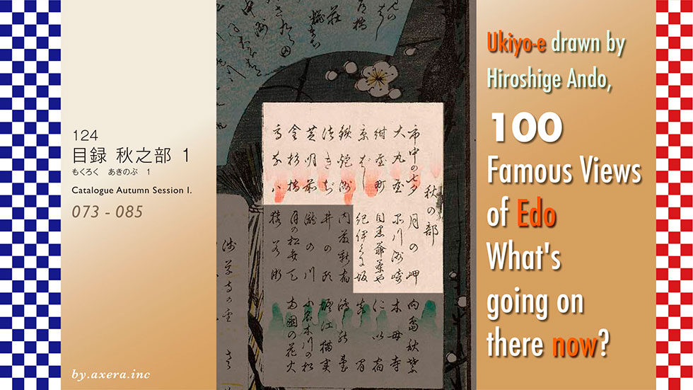
The fourth part of this series is part 1 of the Autumn section, which covers views 73 to 85.
073
The City Flourishing, Takabata Festival.
This painting is said to depict a view of Mount Fuji and Tanabata Festival decorations fluttering in summer from the clothesline of Hiroshige's house in Ohga-cho, where he lived in his later years. The painting seems to have been meant to support the recovery of the town of Edo from the Great Ansei Earthquake of the previous year. The location is now Kyobashi 1-chome, south of the Artizon Museum, where the Toda Corporation's head office building is under construction right in front of the building. So, I raised the perspective and included Mt Fuji in summer in the current town of Kyobashi.
074
Silk-goods Lane in Otenma-cho.
This is Nikko Kaido in Otenma-cho, which prospered from the Mikawa cotton industry and was lined with large shops. A group of carpenters are passing by the Daimaru kimono Shop in the middle of the street, dressed in formal attire and carrying a gohei (Shinto staff) on their shoulders, after completing the ridgepole-raising ceremony. The Daimaru kimono shop at that time has already moved and is now in the silver building on the left, and Nikko Kaido, which was the main street at that time, has moved to the north, so the street looks lonely.
075
Navy blue dyed town in Kanda.
In Kanda, there was a town where dyeing artisans gathered together and indigo-dyed fabric was hung out to dry, one by one, on a clothesline with an assembly of oars. This painting depicts the characteristic scenery of Kanda Konyacho, including Mt. Fuji, which is now a road leading to the Imagawa-bashi crossing but which cannot actually be seen beyond the high-rise buildings of Otemachi, to recreate Hiroshige's view.
076
Bamboo Yards at the Kyobashi Bridge.
This painting looks east from in front of the current Ginza 1-chome police box. At the time, bamboo wholesalers lined the north side of this Kyobashi River, and the people crossing the Kyobashi Bridge and the moon are depicted, emphasising the bamboo and the warping of the bridge. The people walking from right to left are people returning from a pilgrimage to Mt Oyama. Today, the Metropolitan Expressway runs over the Kyobashi River and it is hard to imagine that there was ever a bridge there. Today, only the stone parapet of the Kyobashi Bridge still adorns the side of the bridge.
077
Inaribashi Bridge and Minatojinja shrine at Teppozu.
This view is from around present-day Shinkawa 2-chome, looking along the Kyobashi River over the Kamejima River towards Hacchobori. The large wooden pillars are the sailing poles of boats that brought rice and sake from the Kansai region. Today, the red-walled Teppozu Inari has been relocated 100 metres to the south, and the Kyobashi River has been reclaimed to create a senior citizen facility and Sakuragawa Rooftop Park on top of it. I raised the viewpoint and made a picture with Mt Fuji in it.
078
Teppozu and Tsukiji Honganji Temple.
This is a view of the Tsukiji Honganji temple, known as Gomonzeki, from the Sumida River. The main building of Honganji was so large that most boats travelling in Edo Bay used it as a landmark to locate the temple. In the foreground, the Sumida River is depicted with benzai boats, fishing boats and fishermen. Today, the Hongwanji cannot be seen even through the gaps between the buildings in this photo taken from the top of the embankment on the Tsukishima side.
079
Shiba Shinmei Shrine and Zojoji Temple.
The painting looks west from around the present-day Daimon Station, with the red gate at the end of the stream at the far left being the Daimon Gate, with the main temple gate and the main hall slightly beyond it. The 'Shinden' style building on the right is the Shiba Shinmei-gu shrine, with a group of travellers from the suburbs in the foreground. Today, the large gate on the left has been reinforced and the Shinmei-gu Shrine is behind the Resona Bank on the right, but is not visible at all.
080
Kanasugibashi Bridge and Shibaura Inlet.
This picture shows Kanasugi Bridge, the last barge before the Furukawa River flows into the sea, seen from the west. Ahead of the procession of "Manto Kuyo" (Buddhist lantern offerings) from Ikegami Honmonji Temple, which has completed its Oeshiki ceremony, a small Tsukiji Honganji Temple can be seen beyond the Shiba Rikyu and Edo Bay. The Furukawa River is now covered by the Metropolitan Expressway, so this picture was taken looking west from a little to the north, and the white building ahead is the Tokyo Gas head office on Hamasaki-bashi Bridge.
081
Ushimachi at Takanawa.
This picture shows the view of the sea at that time from outside what is now Sengakuji Station. At the time, the sea was just ahead, and you can see the boats going by and Odaiba beyond where the dog is playing. Ushi-machi is a common name for the town, which was officially called Shiba-kuruma-cho, and was also the birthplace of the Daihachi-guruma, which was pulled by people instead of oxen. The redevelopment of JR Takanawa Gateway Station is currently underway, and although the end of the railway line can still be seen in the photo, a forest of high-rise buildings will soon be built from Fudanotsuji to JR Shinagawa Station.
082
Moon-Viewing Point.
The Shinagawa area is also famous for its moon, and this painting is said to be a view of the sea from a ryotei called Dozo Sagami on Yatsuyama. Outside the window on the second floor of the magnificent ryotei, where geishas were playing, the painting shows geese flying under a full moon and a number of boats floating on Edo Bay. However, the sea cannot be seen from here today, even though it is far away, so a picture of the buildings of Higashi-Shinagawa has been inserted outside the window.
083
Shinagawa Susaki.
The Meguro River flows into Shinagawa-juku, and a sandbar has formed at its mouth, where the Suzaki Benzaiten, a shrine worshipped by the fishermen of Shinagawa, was located. Hiroshige painted a slightly overhead view of the Benten shrine surrounded by pine trees, the Torimi Bridge crossing it and the sea in the distance. Today, the Meguro River in the foreground becomes Kaigan Dori, and the Benzaiten is barely visible from the rows of houses and condominiums surrounding it.
084
Grandpa's Teahouse at Meguro.
This is a view of Mt Fuji and the Yutenji area from a steep hill in Mita 2-chome, on the left side of the Chaya-zaka downhill from Yebisu Garden Place, across the America Bridge. Fuji and Yutenji from the steep hill on the left side of Chaya-zaka down from the Amerika Bridge from the Garden Place. Fuji from the teahouses of Grandma and Grandpa, which were located opposite each other at the time. Today, although there is a steep slope, the teahouse is now a residential area and a short walk down the slope reveals not Mt Fuji but the tall chimney stacks of the Meguro Cleaning Plant.
085
Kinokunizaka Hill and View of Akasaka Tameike Pond in the Distance.
This is a view of Kinokuni-zaka hill on the way from Yotsuya Station to Akasaka-mitsuke. Benkei-bori moat is on the left and the town of Akasaka is depicted beyond it. The procession of feudal lords in the painting is actually another line on the right, heading towards the gate of the Kishu Tokugawa family's main residence beyond. Today, the Metropolitan Expressway No. 4 is now covering the area along Benkei-bori moat, and the area down the hill is the former Akasaka. The vast upper residence of the Kishu Tokugawa family, located just in front on the right, has now been transformed into the Akasaka Rikyu State Guest House and the Akasaka Imperial Estate.
I have been asked to visit the places where I love the 100 Famous Views of Edo, painted by Hiroshige Ando, to see what the scenes look like now, and to compare the old and the new.
In this catalogue, Hiroshige's works of 119 views will be grouped by season, and only the old and current views will be presented in digest form.
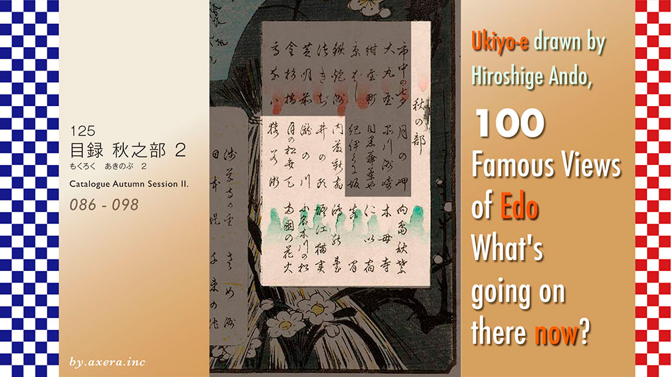
The fourth part of this series, as Autumn Session II, will cover views 86 to 98.
086
Naito Shinjuku in Yotsuya.
This is a view looking towards Yotsuya on Shinjuku Street from the Shinjuku 3-chome intersection. At the time, the area was prosperous as Naito-Shinjuku, the first post station on the Koshu-kaido road, with teahouses lining the left side of the street, and was also a thriving entertainment district on the outskirts of Edo. Today, it is a busy pedestrianised road from the east exit of Shinjuku Station towards Yotsuya on Sundays. Underneath this road is Shinjuku Sanchome Station, which also serves as a transfer station for the underground.
087
Benten Shrine at Inokashira Pond.
This is a view of Inokashira Pond in Inokashira Park, south of Kichijoji Station, looking north over Benzaiten. In the early Edo period, water from here was drawn into Edo city via the Kanda River and used for domestic purposes. Benzaiten is still surrounded by pine trees almost like this, but the actual Inokashira Pond was not as large as this. Today, it is even more tightly surrounded by houses and buildings, making it look like a small pond in the city.
088
Takinogawa in Oji.
The Shakujii River flows through a sheer rock canyon as far as the Oji area and has been famous as a scenic spot since the Edo period. The Takino River area in particular was visited by many people in spring for the cherry blossoms and in autumn for the autumn leaves. Today, the river is a solid urban river with a three-sided revetment, and the Kongoji temple in the picture is the temple with the large roof in the centre of the picture.
089
Moon Pine at Ueno.
This painting shows a curving, rounded pine tree beside the Kiyomizu Kannon Hall in the mountains of Ueno, through which the Shinobazu Pond can be seen. Hiroshige's painting shows Shinobazu Pond, Nakajima Bentendo and the town houses lining the opposite bank of the pond. Recently, this pine tree, known as the Moon Pine, has been recreated and planted under the stage of Kiyomizu-do. This photo shows the Nakajima Bentendo as seen through that pine tree.
090
Night View of Saruwaka-machi.
In what is now Asakusa 6-chome, there was a theatre town called Saruwakamachi, where kabuki performances were permitted in the Edo period. Yoshiwara, Nihonbashi Fish Market and Saruwakamachi supported the Edo economy, with a daily turnover of 1,000 ryo. On the right side of the painting, the three Edo theatres are lined up, and opposite them are a row of theatrical teahouses, which were very busy. Now, when you go there, there is no trace of the theatrical town.
091
Akiba Shrine Garden at Ukeji.
Around present-day Mukojima 4-Chome, there was a village called Ukeji, where there was a shrine for fire protection, which had been recommended by the Enshu Akiba Shrine. The shrine was famous for its vast pond surrounded by maple trees and pine trees, which was visited by many Edo citizens in season. Now, however, it has shrunk in size, roads have passed by, houses surround it and the pond is gone, leaving only the shrine building standing quietly at the end of a narrow alley.
092
Mokuboji Temple and Uchigawa Inlet at Onsenzaibatake Field.
At the entrance to what is now Higashi Shirahige Park, there was an inlet called Uchigawa, where the famous Mokuboji Temple, famous for the Umewaka legend, and a famous ryotei restaurant surrounded by pine trees were located. This area was a famous place known to all Edo citizens, and Hiroshige painted a picture of it, complete with geisha. Nowadays, the Mokuboji Temple has been relocated and remains, but the inlet has been reclaimed and turned into a regular park, so it is not even clear where the ryotei depicted was located.
093
Niijuku Ferry.
In the Edo period, if you proceeded along the Mito Kaido road, you came across the Furutone River, now the Nakagawa River, at the end of Kameari, where there was a ferry. A new post town was built at the end of the crossing, so it was called 'Niizuku' and was lined with ryotei restaurant and other establishments. Today, a bridge called Nakagawa Bridge crosses the road at the end of the Ito-Yokado car park, beyond which, turning right, the road joins the present extended Mito Kaido Road.
094
Maple Trees at Mama, Tekona Shrine and Tsugihashi Bridge.
Mama in Ichikawa is famous for the legend of Tekona, which has been known since the Manyoshu period, and Guhoji Temple overlooking it was also famous for its autumn leaves. Tekona is a legend of a tragic beauty who, after being courted by two men, committed suicide by entering the water after being distressed. Hiroshige depicted Tekona's mausoleum, which was surrounded by an inlet at the time, and the Tsugibashi bridge leading to it through the autumn leaves of Guhoji Temple. Today, from the top of Guhoji Temple, only a residential area can be seen, with the JR Ichikawa Station building visible in the distance.
095
View of Konodai and the Tonegawa River.
Konodai was a precipitous cliff carved out by the Tone River, from which it was a scenic spot from which the town of Edo could be seen beyond to Mt Fuji. From Edo, it was a tourist destination for overnight visits and was also associated with the then best-selling novel Nanso Satomi Hakkenden. Today, the cliffs have been cut into the river, the river has been widened and the river edge has been turned into a parking lot. I included the stork that gave the Konodai its name in that photo.
096
Horie and Nekozane Villages.
The Tone River at that time, now the Edo River, branched off the Sakai River to the east, just past Myokenjima. Here, the villages of Horie and Nekozane faced each other and were also ports for the transport of salt and people. Hiroshige depicted the two villages and in the distance Mt. Chichibu mountain range is inset into the picture looking downstream on the Sakai River around present-day Urayasu. Mt.Fuji is not visible from this direction.
097
Five Pines along the Onagigawa Canal.
The Onagigawa Canal is an almost straight built for logistics, connecting the Sumida and Nakagawa Rivers. Five pine trees were planted around Sarue on this canal, but four of them died. The branches of one of the remaining pine trees grew so tall that it reached the Onagigawa Canal and became famous as a magnificent pine tree, which was still called the Five Pine Trees. A replacement pine tree has now been planted by the Onagi Bridge in the neighbourhood, and only a signboard remains to indicate its existence.
098
Fireworks at Ryogoku.
The Edo shogunate set off fireworks on the Ryogoku Bridge to mourn those who had died in the famine of the Kyoho period and cholera in Edo, and this became an annual summer event thereafter. Hiroshige depicts fireworks being set off downstream by a Kagiya and the river boats that came to watch. The photograph shows a night view of the Ryogoku Bridge from the same location, with the fireworks, which are no longer shot off, embedded in the background.
I have been asked to visit the places where I love the 100 Famous Views of Edo, painted by Hiroshige Ando, to see what the scenes look like now, and to compare the old and the new.
In this catalogue, Hiroshige's works of 119 views will be grouped by season, and only the old and current views will be presented in digest form.
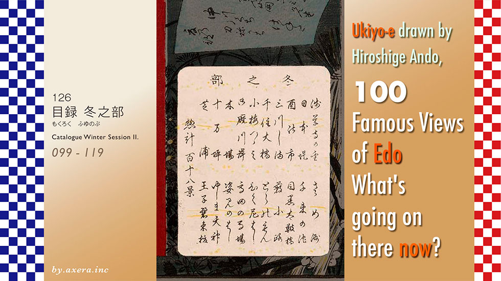
In this fifth installment, as the Winter Session, we will introduce views 99 to 119 all at once.
099
Kinryuzan Temple in Asakusa.
This is a snowy view of Nakamise-dori in Asakusa, seen from just in front. This red gate is the Kaminarimon, which has long been famous for its statues of the Wind and Thunder Gods. The red lanterns are a dedication from a group called Shinbashi-ren. The five-storey pagoda is on the right of the gate, the opposite of what it is now, which gives it a historical feel. Nowadays, the temple is overflowing with tourists from overseas, and both sides of the approach have been extended into a Nakamise shopping street for souvenirs, giving it the appearance of a terrace. The red lanterns have been replaced by dedications from Panasonic instead of Shinbashi-ren.
100
Nihonzutsumi Embankment at Yoshiwara.
To protect Edo from the flooding of the Arakawa River, Ieyasu had an embankment built from around Imado to Minowa. This was called the Nihon-zutsumi, and as it was just on the way to the Yoshiwara brothels, a forest of shops with reed screens was built to cater to the customers. Nowadays, it's hard to tell which part was the moat and which part was the dyke. It's just a conventional street corner view, isn't it? I raised the viewpoint to a night view and included the moon, geese and the mountains beyond.
101
Asakusa Ricefield and Torinoichi Festival.
This is an evening view from a room in the Yoshiwara brothels, looking towards Asakusa Ricefield and Mt Fuji beyond. The procession in the rice paddies are visitors to the festival known as 'Torinoichi Festival' at the Washi Myojin shrine. In the lower left-hand corner of the room are a few rake frogs, which were popular as souvenirs at that time. Only the outside of the window has been replaced by the now building-filled Asakusa Ricefield and the winter Mt Fuji.
102
Minowa, Kanasugi and Mikawashima.
The area around Mikawashima was then an area of wetlands and rice paddies, which were visited by cranes in winter. The Shogun protected these cranes by building feeding stations and enclosures. The cranes, which were regarded as a spiritual bird of longevity, were hunted only once a year and presented to the Imperial Court. Today, the place is nothing more than a nondescript townscape. Afterwards, the red-crowned crane, which was thought to be extinct, was protected in the Kushiro Marsh, so I included a photo of it.
103
Senju Ohashi Bridge.
This is a view of the Senju Ohashi Bridge, which spans the Nikko Kaido and Oshu Kaido roads to and from Edo, from the Minami Senju side. As this was a key traffic point, the bridge was built in the early Edo period and was used not only for logistics to Edo but also for the transfer of visitors to and from the city. This is also the bridge where the last shogun, Yoshinobu Tokugawa, was seen off by a weeping Tesshu Yamaoka as he left Edo. It is also the bridge where Matsuo Basho said goodbye to Edo when setting out on the Oku no Hosomichi. Today, the bridge is an iron bridge with separate upper and lower routes, and even from a higher vantage point it is surrounded by buildings, making it difficult to even see the bridge.
104
Koumezutsumi Embankment.
To the north of the present-day Tokyo Sky Tree, there is an irrigation canal called the Narihira River, and the area around the confluence of the other river towards Akiba Gongen shrine in the contracted area was called Koume Village. The two large trees on the right of the screen are Japanese alder, which served both as a bank protection and as a tree for drying rice. Today, the river is gone and the street has been widened to become Hikifune Street. The high-rise buildings at the back are the redeveloped buildings of Hikifune Station.
105
Onmayagashi Ferry.
On the south side of what is now the Umayabashi Bridge, there was a ferry called the Onmayagashi, and this painting depicts the nighttime routine of the ferry. On the left, two streetwalkers crossing from Honjo Yoshida-cho on the opposite bank are on board, along with the streetwalker's bodyguard, called Gyuu. To their right, the evergreen oak, a landmark of the Onmayagashi Ferry, is depicted. Today, on the opposite bank of the river is the Lion's Honjo Research Institute, and the Sumida River is well protected and has a walking path.
106
Fukagawa Lumberyards.
In Edo, where fires were common, timber wholesalers and other businesses were forced to relocate together to the side of the Fukagawa moat. This painting depicts a winter scene of the Fukagawa woodyard that was thus created. Lumber is floated on the river and the mansions of the lumber merchants stand beside it. In today's Fukagawa, the moat has been converted into a water park and the lumber merchants have relocated to places such as Shin-Kiba on the bay.
107
Fukagawa Susaki and Jumantsubo.
At the time, "Fukagawa Susaki" was a place where Benzaiten was enshrined and where the first sunrise of the New Year was celebrated as it rose from the sea. However, the centre of Hiroshige's painting is a little further east, above what is now Toyocho Station, looking in the direction of Kinshicho. It took three years to develop the new rice fields here, but the winds were so strong that they could not be used, so the area was called Jumantsubo and was like a wilderness. Today, the four-lane Yotsume Street stretches straight ahead, surrounded by buildings, with the Tokyo Sky Tree visible in front of it.
108
View of Shibaura Inlet.
In the foremost foreground, on the right, is the present-day Hamarikyu Palace, which was called Hamagoten. Beyond that you can see the mouth of the Furukawa River and then Daiba and Shinagawa in the distance. In those days, the area from here to Takanawa was called Shibaura Inlet. The two large pillars on the left side are the Miotsukushi used by boats to check the tide level in Edo Bay, where there was a large difference between the tidal and ebb levels. Nowadays, the Miotsukushi have disappeared and the redevelopment of the Takeshiba area has resulted in a row of high-rise buildings, making it impossible to see anything beyond the Miotsukushi.
109
Minami Shinagawa and Samezu Coast.
At that time, the sandbar of the Meguro River stretched from Samezu to around Shinagawa-juku, and the sea was shallow. Tree branches called "Soda" were erected there to grow seaweed, which eventually became a speciality of the area. Boats going around the laver cracks became a tradition at the beginning of winter, and Hiroshige made a painting of it. Today, the area has been reclaimed to offshore, leaving the Katsushima Canal as an inlet, but no laver is produced. Please also see the painting together with the Katsushima Canal from the sky above, through the canal and inset to the mountains.
110
Robe-Hanging Pine at Senzoku Pond.
In Senzoku Pond, there remains a pine tree where Nichiren Shonin is said to have stopped on his way to Ikegami and hung up his robe after taking it off. This is a view of the scenery from above the current Senzoku Station. In front of the pond is Nakahara Kaido, which was the main road from the west to Edo until the Tokaido was built. Today, it is surrounded by houses, with the Tokyo Institute of Technology at the back and the Chichibu mountain range beyond.
111
Taikobashi bridge at Meguro and Yuhino-oka Hill.
The Meguro River flows to the south of Meguro Gajoen and there was a bridge made of piled stones, which was rare in those days. It was called Taiko-bashi because it was raised like a drum, and as it was on the way from Shirokane down Gyoinzaka hill to Meguro Fudo and Yutenji temple, a teahouse was built on it. Later, the bridge was washed away by flooding and is now a flat bridge, with the Meguro Gajoen business building standing at the back.
112
Atagoshita and Yabukoji Lane.
This is a view looking south along Atago Shita-dori from what was then Toranomon 1-chome, known as Yabukoji. At Atago Shita-dori at that time had a spillway called Sakuragawa moat running through it, and the red gate is Shinpuku-ji Temple. The cedar grove behind it is Mt Atago, with Atago Shrine at its summit. Nowadays, redevelopment has left the area full of skyscrapers, with Toranomon Hills on the right and the Tokyo Prince Hotel behind Atago Green Hills in front.
113
Aoizaka Slope Outside Toranomon Gate.
At the end of the present Toranomon intersection, there is a waterfall flowing down from a Tameike reservoir, and the slope to the left of the waterfall was called Aoizaka Slope, as there were standing hollyhocks planted at the top. The naked man in the foreground is a craftsman who came to make a wish to Kompira-sama, just beside the waterfall, and the udon and soba stalls are also coldly climbing up the slope. Today, this view is replaced by the Toranomon MOL building, and the waterfall and the slope have completely disappeared.
114
Bikunibashi Bridge in the Snow.
Where Sotobori Dori Street reaches Ginza 1-chome, the Kyobashi River runs alongside, and the bridge that used to span the river is the Bikunibashi Bridge. A boar restaurant is on the left, a baked potato shop is on the right, and an oden vendor is about to cross the bridge with his stall in front of it. The Kyobashi River is now the Metropolitan Expressway, and I processed the view around the area past the motorway into a winter picture. The area seen ahead is around Sukiyabashi Crossing.
115
Takata Riding Grounds.
There was a stable for martial arts training in the area around present-day Nishiwaseda. Originally it was the garden of Takata-dono, the sixth son of Ieyasu, so it was called Takata Riding Grounds, where yabusame archery was held every year as a dedication to the nearby Ana Hachiman shrine. Hiroshige painted this scene with a distant view of Mt Fuji. Today, the Riding Grounds has all been turned into a residential area, with back alleys lined with ordinary houses in detail.
116
Sugataminohashi Bridge, Omokagenohashi Bridge, and Jariba at Takata.
Around the area of today's Toden Omokagebasshi Station, there was a bridge called Omokagebasshi Bridge, which crossed the Kanda River. With that bridge in the foreground, the image depicts the rice field next to the bridge, which was called Sugataminohashi Bridge or Jariba, and the road leading to it. This road was also an important road leading up a steep hill ahead to Kishimojin in Zoshigaya and on to the Nakasendo, Nikko Kaido and Kiyoto Roads. This photo, taken from the south in front of the current Omokagenohashi Bridge looking north, shows no trace of the road.
117
Hilltop View from Yushima Tenjin Shrine.
The clear view after a snowfall is seen from the Women's Slope of Yushima Tenjin. Beyond the snow-covered roofs of the town houses are Shinobazu Pond and Nakajima Bentendo. Ahead of them, the small temple complex of Kan-eiji Temple in Ueno can be seen. From the right, two people now wearing hoods are also depicted coming up the Men's slope. Today, from the top of the Women's Slope, only the buildings immediately to the side can be seen. So I replaced it with a more Tenjin-sama-like photo involving the main hall and the spring plum trees that have started to bloom.
118
Oji Shozoku-Inari shrine, Hackberry and New Year's Eve foxfires.
This is not so much a view as a painting by Hiroshige of a lore scene. A short distance north of Oji Inari was a large Hackberry tree. Every year on New Year's Eve, many foxes from Inari shrines all over the Kanto region would gather here, change into court dress and head for Oji Inari to pay their respects. At the end of the many foxfires was Oji Inari, where the neighbouring farmers would divine the good or bad harvest of the following year by looking at the number of foxfires. Today, the Hackberry tree has withered and the Soushoku Inari that stood beside it has been moved, so I have added the foxes to a photo of Oji 2-chome, which is said to have been there at the time, to create a night view.
119
Paulownia Fields of Akasaka in the Night Rain.
This is officially published as having been painted by Hiroshige II. It depicts the northern edge of Tameike pond, with paulownia trees planted along the shore, and the slope leading up to the Akasaka Gate at the back of the pond from around Akasaka 3-chome. At the end of the hill is Benkei moat, beyond which is the residence of the Kii Tokugawa family, one of the three Tokugawa families, and the Koshu Kaido road lies behind it. Today, the reservoir has been filled in and the street has become Sotobori Dori (outer moat street), and I tried to make it rain in this photo of the Akasaka-mitsuke direction seen from there.
